| FAA Identifier: | 2W2 |
|---|---|
| Lat/Long: | 39.4670278,-77.0174444 (estimated) |
| Elevation: | 798.6 ft. / 243.4 m (surveyed) |
| Variation: | 11W (2000) |
| From city: | 7 miles S of WESTMINSTER, MD |
| Time zone: | UTC -4 (UTC -5 during Standard Time) |
| Zip code: | 21157 |
Location Information
Aerial Images
Airport Operations
Airport use: Open to the public
Activation date: 07/1966
Control tower: no
ARTCC: WASHINGTON CENTER
FSS: LEESBURG FLIGHT SERVICE STATION
NOTAMs facility: DCA (NOTAM-D service available)
Attendance: 0900-1700
ARPT UNATNDD THANKSGIVING, CHRISTMAS & NEW YEARS DAY.
Wind indicator: lighted
Segmented circle: no
Lights: ACTVT LIRL RWY 14/32 – CTAF.
Beacon: white-green (lighted land airport)
ACTVT ROTG BCN – CTAF.
Sectional Chart

Airport Communications
CTAF/UNICOM: 122.8
POTOMAC APPROACH: 125.525
POTOMAC DEPARTURE: 125.525
WX AWOS-3 at DMW (8 nm N): 121.25 (410-876-1281)
WX AWOS-3 at FDK (17 nm W): PHONE 301-600-1457
WX AWOS-3PT at GAI (19 nm S): 128.275 (301-977-2971)
Additional Remarks
- 60 FT DROP OFF 125 FT FROM AER 14.
- ULTRALIGHT ACTIVITY ON & IN VINCITY OF AIRPORT
- UNL VEHICLE ACCESS TO AIRCRAFT MOVEMENT AREAS.
- FOR CD CTC POTOMAC APPROACH CONTACT 866-429-5882.
Runway 14/32
| Dimensions: | 1840 x 30 ft. / 561 x 9 m |
|---|---|
| Surface: | asphalt, in good condition |
| Runway edge lights: | low intensity. NSTD – LGTS 20 FT FM RWY EDGE |
Runway 14
| Latitude: | 39-28.107047N |
|---|---|
| Longitude: | 077-01.206832W |
| Elevation: | 760.3 ft. |
| Traffic pattern: | left |
| Runway heading: | 136 magnetic, 125 true |
| Displaced threshold: | 330 ft. |
| Markings: | nonprecision, in good condition |
| Visual slope indicator: | panels that may or may not be lighted, on left (4.00 degrees glide path) |
| Touchdown point: | yes, no lights |
| Obstructions: | 15 ft. trees, 274 ft. from runway, 140 ft. right of centerline, 4:1 slope to clear. 34 FT TREES 124 FT L OF THR. |
Runway 32
| Latitude: | 39-27.935138N |
|---|---|
| Longitude: | 077-00.885015W |
| Elevation: | 798.6 ft. |
| Traffic pattern: | left |
| Runway heading: | 316 magnetic, 305 true |
| Displaced threshold: | 277 ft. |
| Markings: | nonprecision, in good condition |
| Visual slope indicator: | panels that may or may not be lighted, on left (7.00 degrees glide path) |
| Touchdown point: | yes, no lights |
| Obstructions: | 25 ft. trees, 528 ft. from runway, 32 ft. left of centerline, 13:1 slope to clear. 10 FT ROAD AT THR; +58 FT TREES 140 FT R OF THR. |
For more up-to-date and detailed information, please visit AirNav
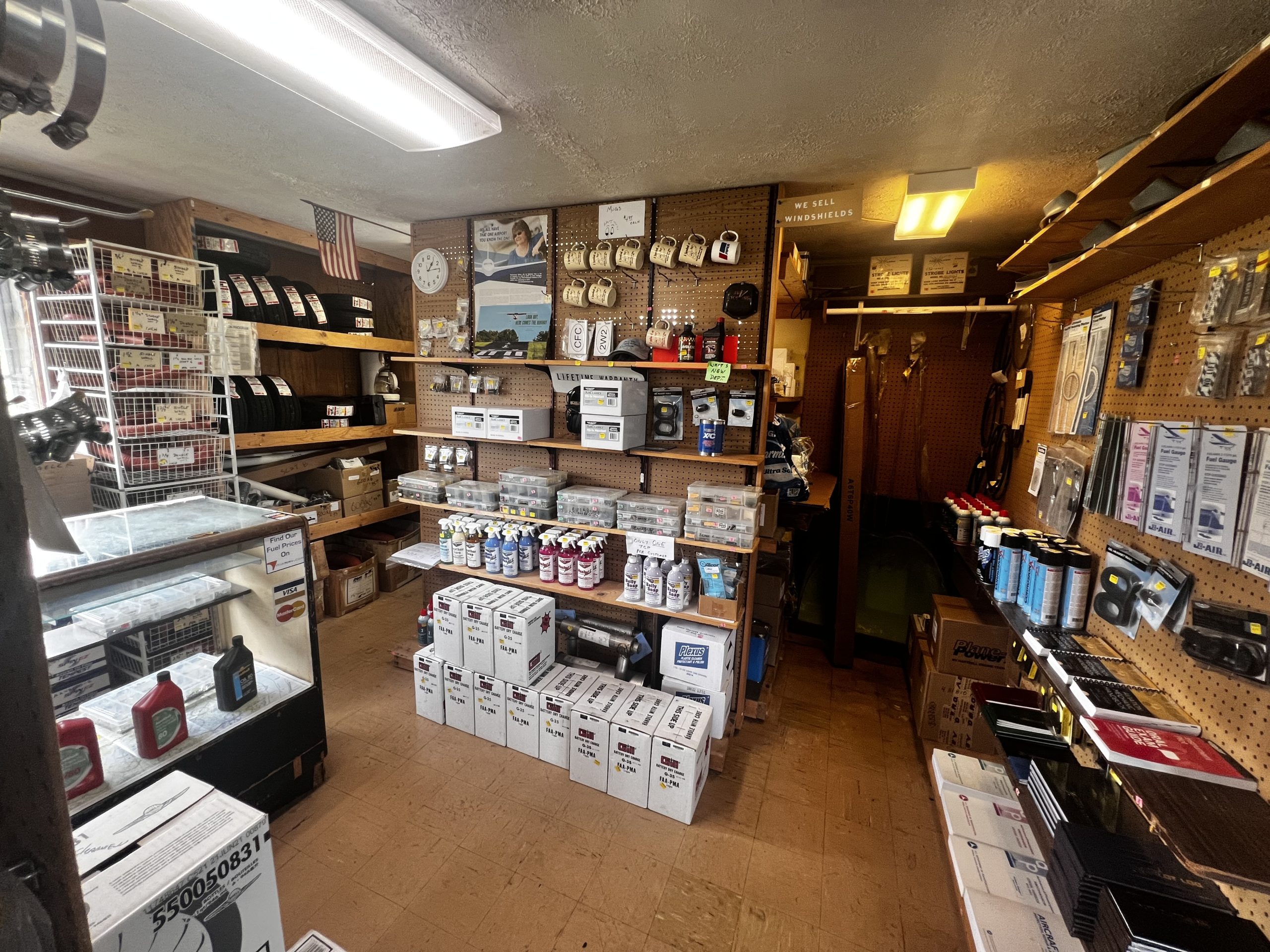
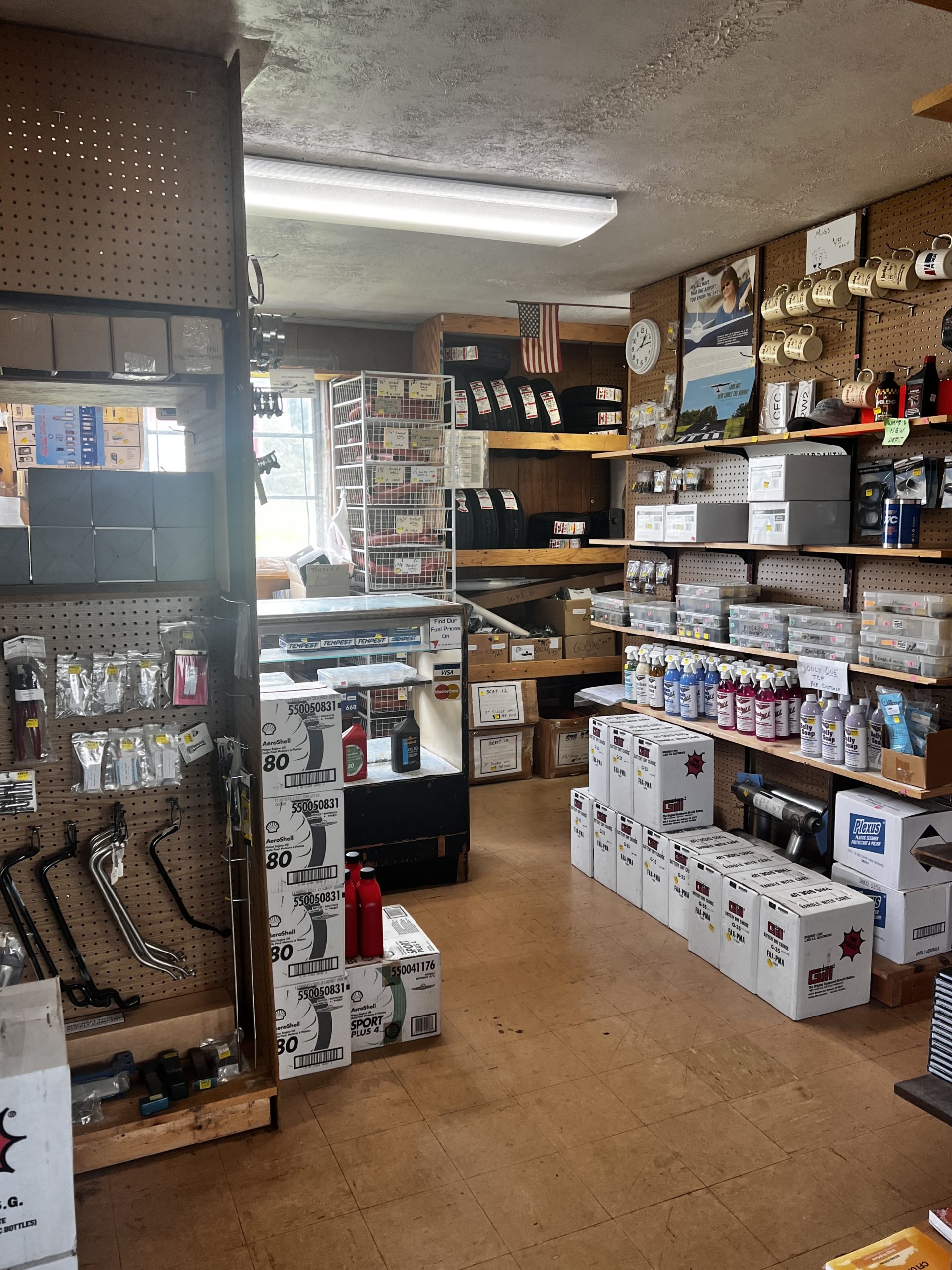
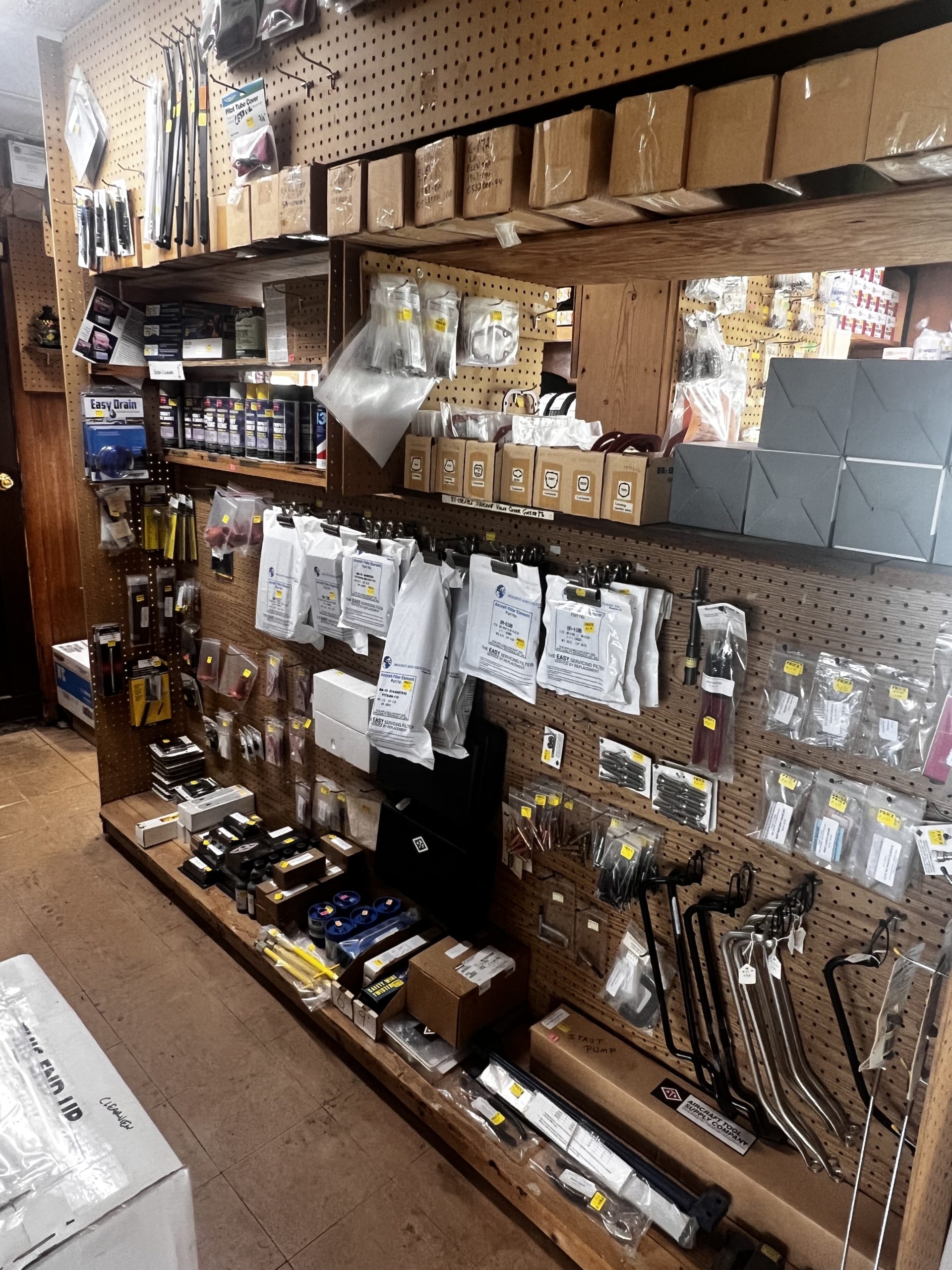
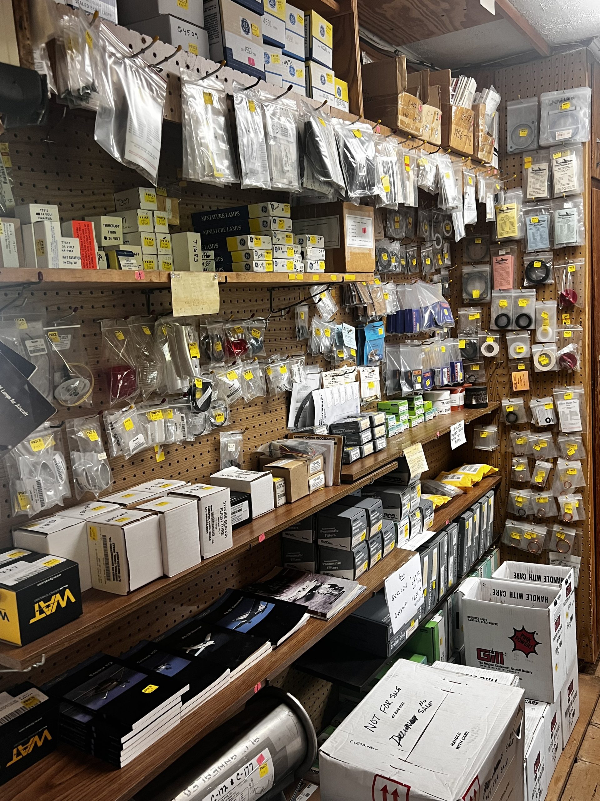
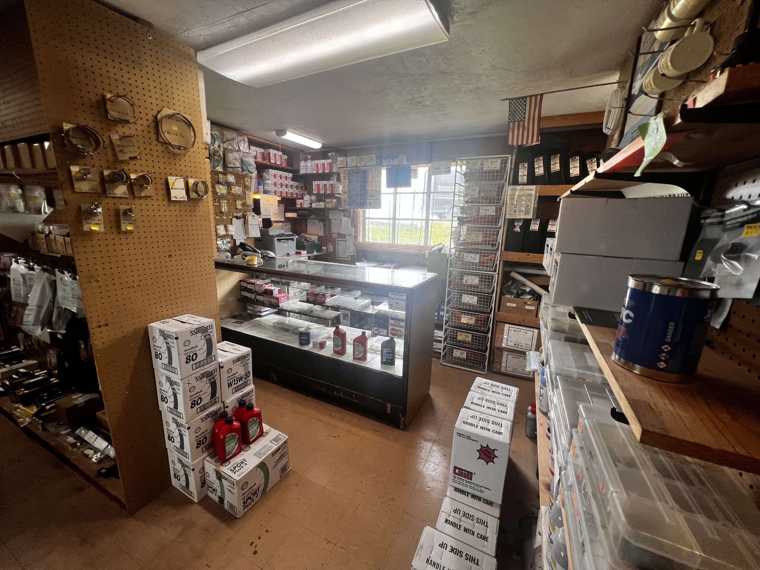
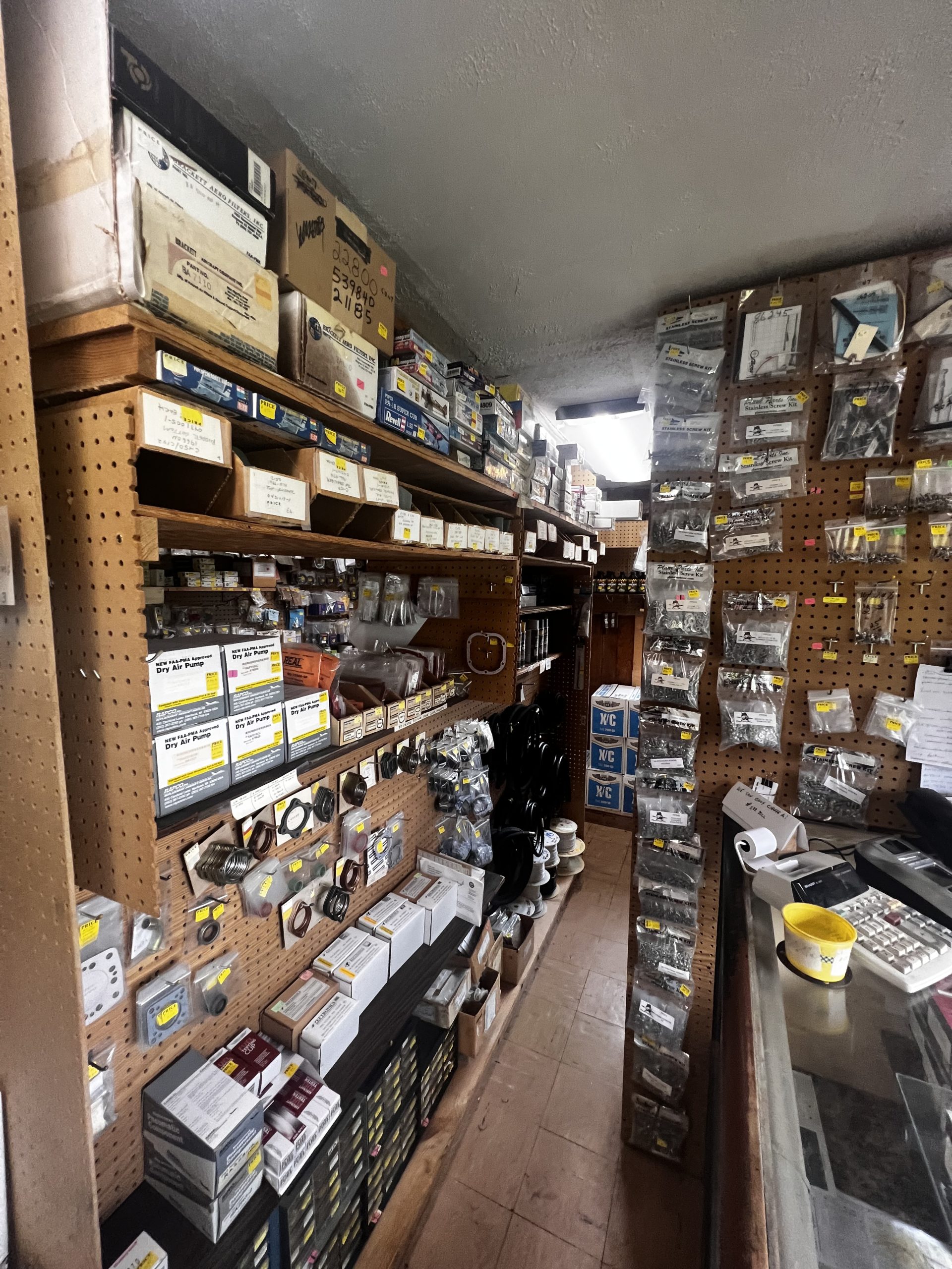
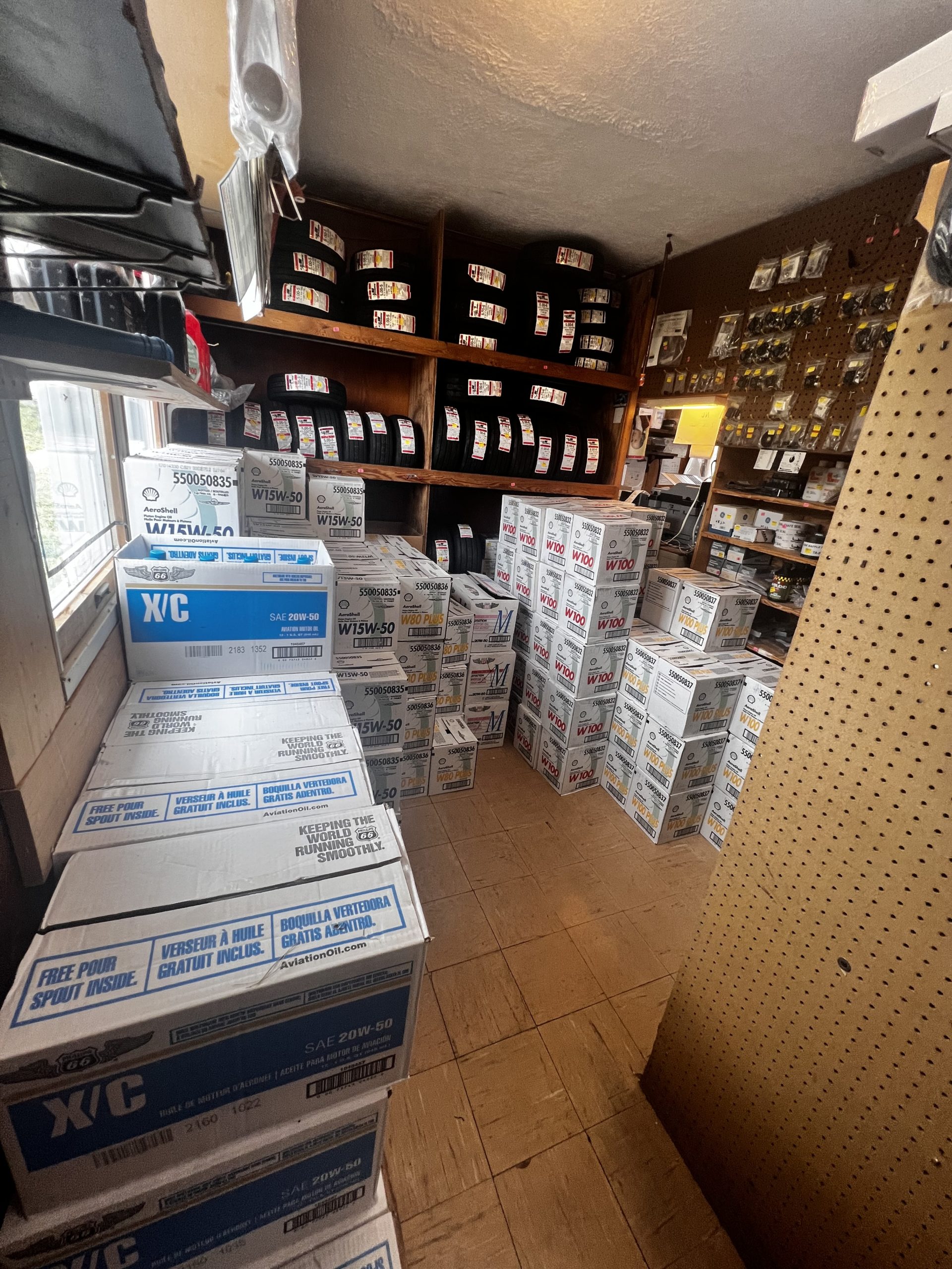
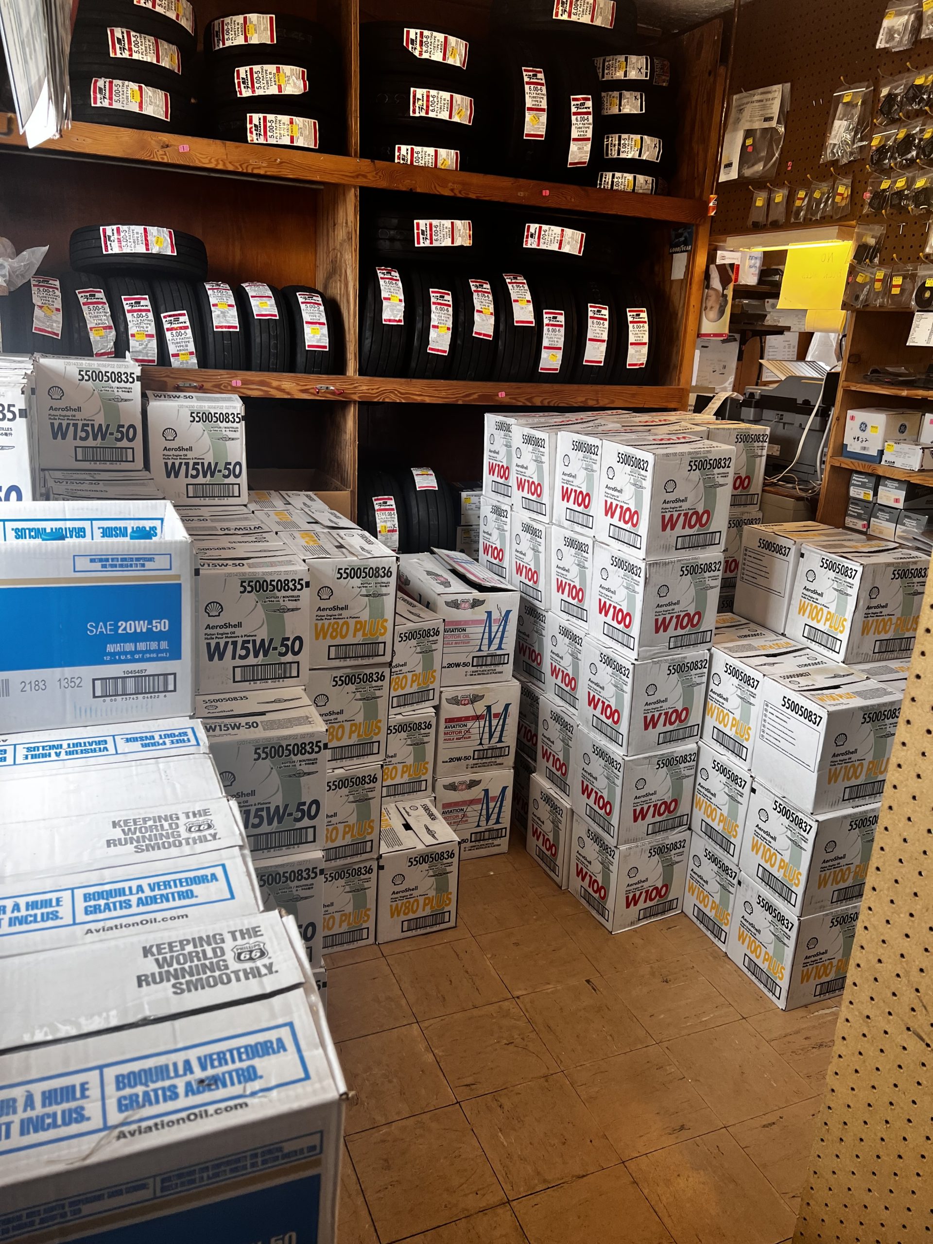
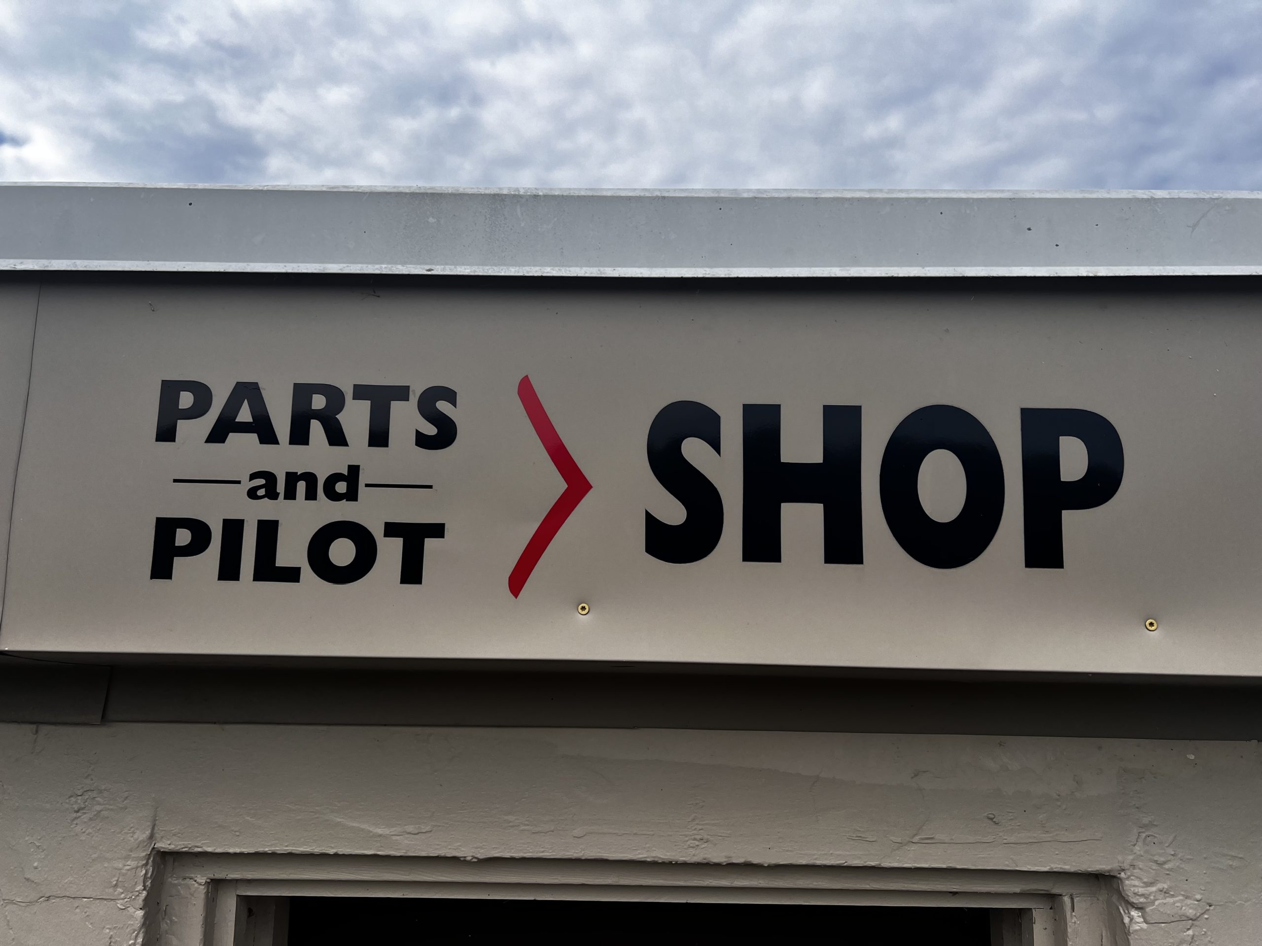
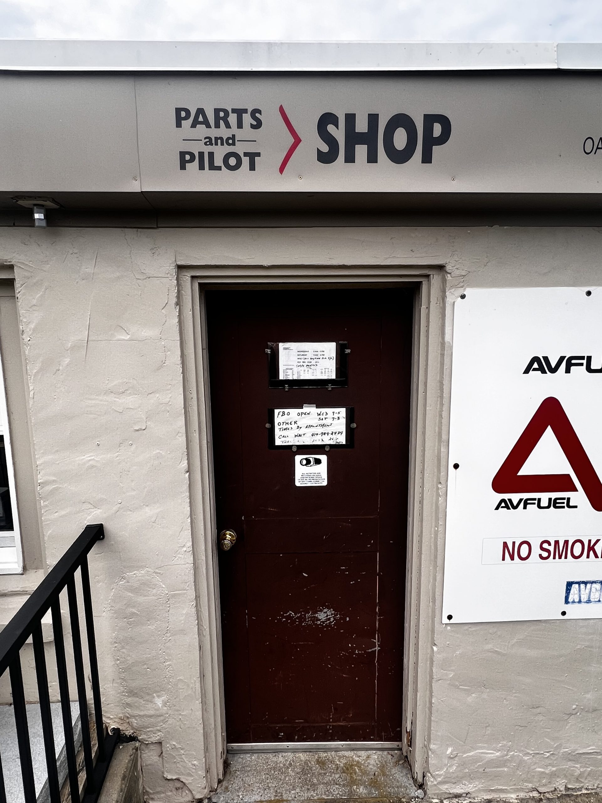
Parts & Pilot Shop
Clearview Airport has an on-site Pilot & Parts Shop, stocked full of your GA aircraft’s and pilots everyday needs. The shop is located inside the FBO.
Hours of Operation
Monday By Appointment Only
Tuesday By Appointment Only
Wednesday 9am – 5pm
Thursday By Appointment Only
Friday By Appointment Only
Saturday 9am – 3pm
Sunday By Appointment Only
Call or text Walt Tegeler (410) 984-2434 for 24/7 service to schedule appointments and/or order parts